If you’ve driven Hana Highway recently, as we have, tried to wedge your rental car onto the shoulder at Honolua Bay, inched along North Shore behind an hours-long nonstop line of brake lights, or followed a social media pin taking you to Hoopii Falls, Hawaii just put those exact places into specific future plans.
The state updated plans naming specific beaches, roads, trails, and bays where visitor pressure is highest and outlining what officials say could change at each. The first round of these (DMAPs) leaned heavily on broader goals and community meetings. The latest version, however, now lists the individual sites and attaches proposed actions. These are among the most in-demand places people build into their trips, not some policy abstractions.
Before assuming your next trip will look dramatically different, one basic reality is worth noting. The Hawaii Tourism Authority does not manage the roads, trails, bays, or neighborhoods in question, so the counties, DLNR, Hawaiian Home Lands, and private landowners will be needed to carry out most of what has just been described. In almost every case, the first year at least is focused on more studies, coordination, and setting up of what might come next.
Maui: Hana and Honolua finally get specific plans.
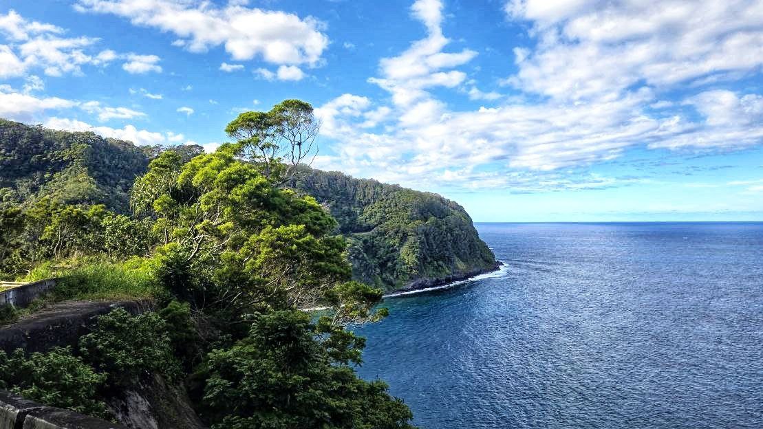
Maui’s plan centers squarely on the iconic Hana Highway, with six of the island’s nine site-specific actions targeting that single corridor.
The ideas are relatively straightforward. Paid community stewards at high-traffic stops such as Keanae Peninsula, a first-of-its-kind Hawaii tour guide certification program requiring culturally accurate mo’olelo (storytelling), safety guidance, and place-based knowledge instead of loosely scripted commentary, together with clearer signage identifying safe and legal pullouts while reminding drivers to let residents pass instead of backing up traffic for visitor photo opportunities.
At Bamboo Forest off Hana Highway, the plan addresses repeated trespassing onto private land. There have been 35 rescues there over the past decade, most requiring use of emergency helicopters. The proposal calls for signage clearly indicating no access. But because that land is privately owned, any real restriction there depends on the owner’s full cooperation.
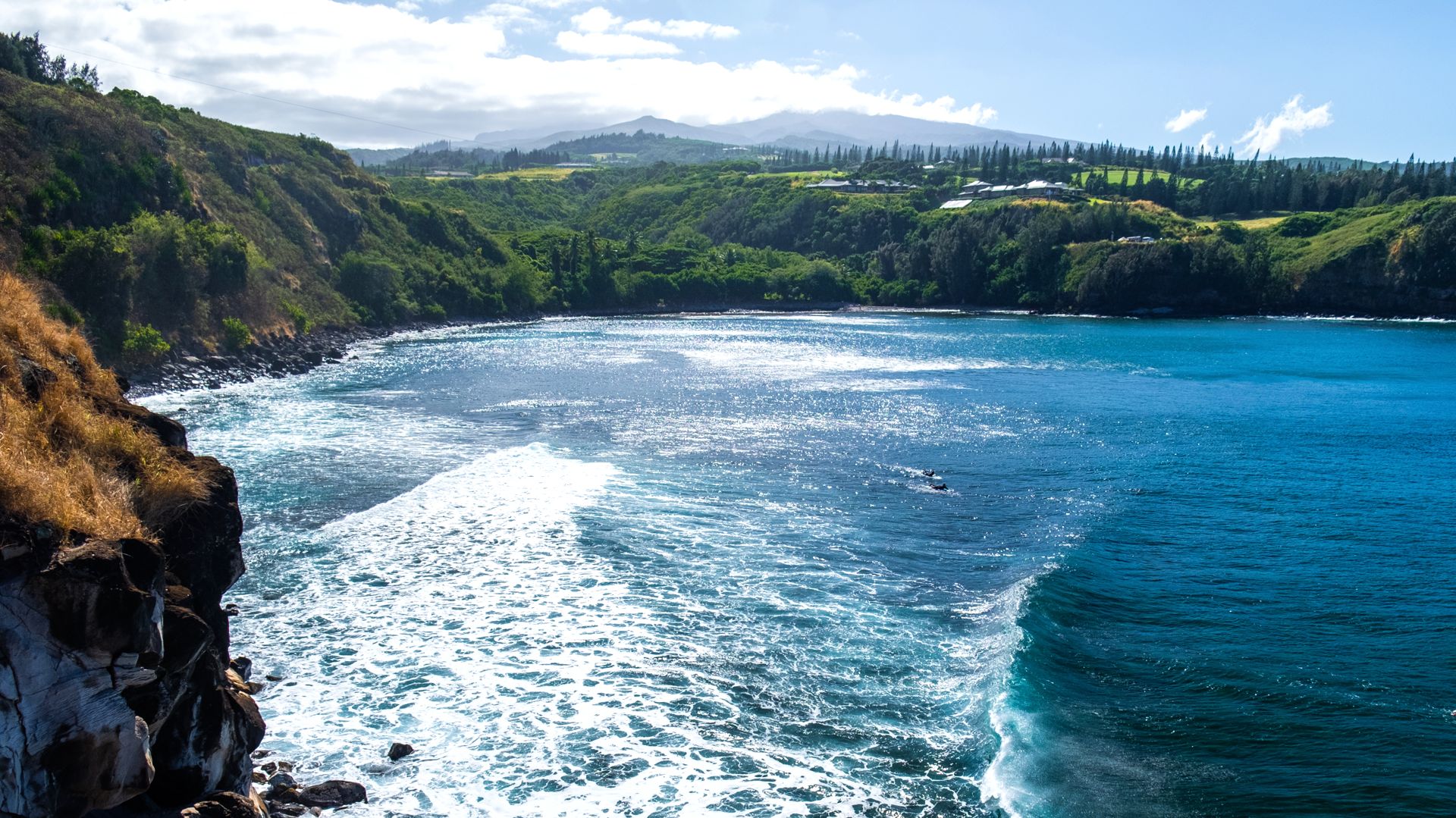
Honolua Bay carries perhaps the boldest concept of all in the statewide package of suggested changes, including a reservation and shuttle system to eliminate illegal roadside parking, a cultural trail staffed by stewards before visitors ever reach the water, and water stewards who will be paddling out to orient snorkel boat passengers. No procurement process has started, and no shuttle contract exists, so the idea remains on paper for now. Kaupo, where a recently paved road has attracted more traffic and complaints, would also get sensor-linked warning signs at blind hills to focus on driving safety.
Big Island: Kealakekua Bay may see closings.
Kealakekua Bay is the main headline site here, as might be expected. The draft introduces the possibility of “rest days” during coral spawning or other sensitive periods, coordinated by the DLNR, when the bay would be closed to visitors. It is still a concept and would require coordination beyond HTA.
At Keaukaha near Hilo, cruise ship impacts drive the conversation ideas, and the community has pushed for a permanent role in shaping how visitor flow is handled around the port. A steward program piloted in 2023 is now being formalized rather than remaining as a short-term experiment.
South Point, or Ka Lae, sits on Hawaiian Home Lands, so the state’s role here is to support the Department of Hawaiian Home Lands’ existing plan rather than create a new one from scratch. Hilo itself is described as needing more visitor activity even as other Big Island sites seek to manage crowding.
Oahu: North Shore, pillboxes, and parking reality.
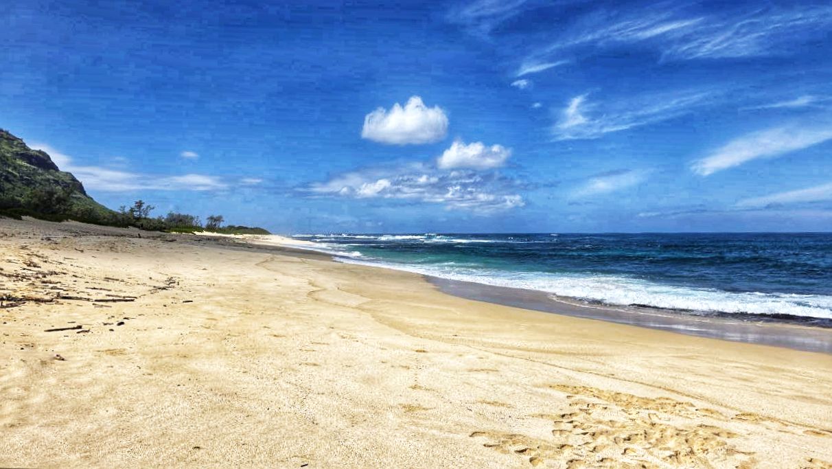
On Oahu, it’s the iconic North Shore that anchors the plan. Five sequenced actions are listed, but the first year focuses on studies, coordination, and groundwork.
There is no shuttle system scheduled for immediate rollout and no reservation platform ready to launch. During the public webinar, officials said any fees would be site-specific and pointed to the extremely limited parking infrastructure as a major constraint.
Lanikai Pillboxes and Maili Pillbox are cited as trails that have seen steep increases in use due to social media exposure. Lanikai already has daytime parking restrictions on residential streets between 10 am and 4 pm, and Maili has experienced a recent fatality. The plan for Lanikai is to evaluate managed access, while for Maili, it begins with determining who is responsible for the trail and what authority exists in order to manage it.
Downtown Honolulu appears in the draft as a future walkable corridor linking Iolani Palace, Honolulu Hale, and nearby historic sites and shops.

Kauai: this waterfall became a neighborhood fight.
Hoopii Falls in Kapaa has become one of the most tense sites in the statewide plans. What was once a local waterfall became a high-traffic destination after intense social media exposure. The trail crosses private, lease, and state lands and is not formally maintained, and residents have placed rocks and tree stumps at neighborhood access points to slow or block visitor flow. The plan’s near-term focus is to gather more data and bring landowners together to clarify jurisdiction and what can legally be done before any formal access system is devised.
The Kapaa Crawl along Kuhio Highway is listed as a priority, but the proposed response, which is a shuttle and visitor hub concept centered on Coconut Marketplace, has no funding, no operator, and no timeline.
Kokee and Waimea Canyon are also included. Two of four proposed actions are already deferred beyond the first funding year, and the near-term steps focus has moved to installing visitor counters and studying whether a reservation system would be feasible.
What changes on your next trip.
Across all four islands, social media is repeatedly cited as a significant accelerant, turning lesser-known spots into must-see stops almost overnight. And in that regard, there is no end in sight.
There are no additional statewide fees attached to these newly identified sites, no disclosed budgets for even the most ambitious concepts, and HTA does not gain or lose any new enforcement authority through these drafts.
If you are visiting in the coming months, you are unlikely to encounter reservation systems at Honolua Bay, formalized rest-day closures at Kealakekua, shuttles operating on the North Shore, or state-managed access changes at Ho’opi’i. Most of what is described for year one is groundwork.
You can review the full island-by-island drafts here: https://www.hawaiitourismauthority.org/what-we-do/destination-management-action-plans/
Do these plans go far enough or too far at the sites you know best?
Get Breaking Hawaii Travel News