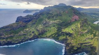
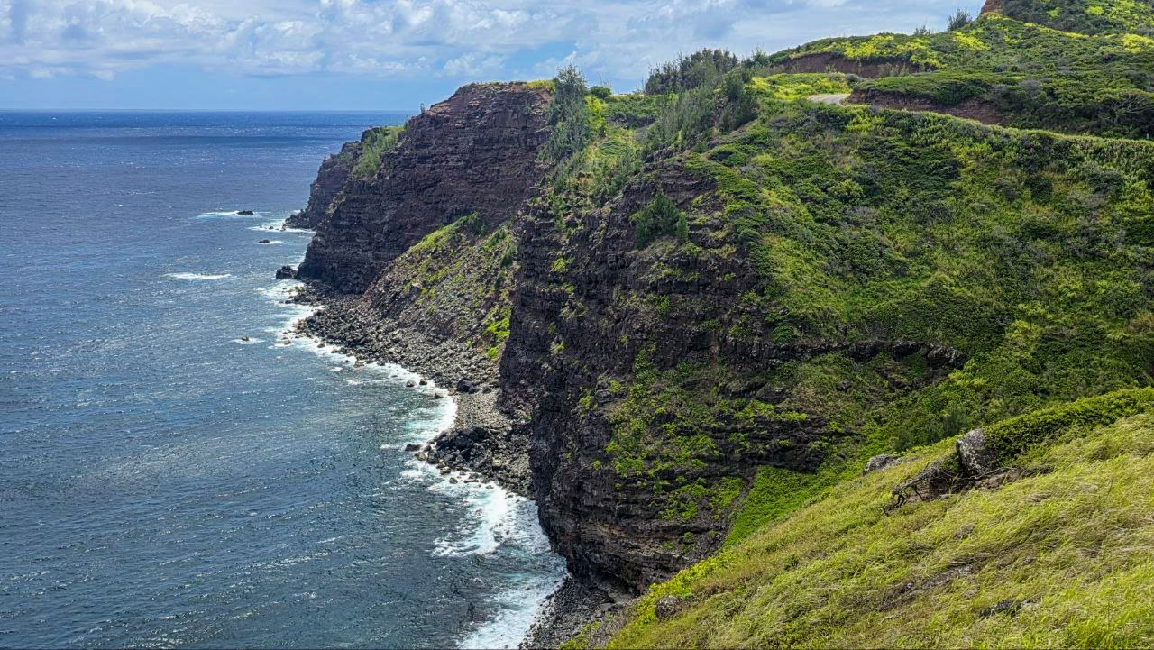
We knew the West Maui Loop would be challenging, so we deliberately rented a very small economy car for the drive. Jeff was behind the wheel, Rob was in the passenger seat, and we thought we knew what we were getting into since we’d done it before. But nothing quite prepared us for just how nerve-racking this drive would become. Jeff was sweating bullets through the narrowest stretches, and the experience was so unsettling that he even had nightmares about it.
To put it in perspective, Jeff isn’t a nervous driver. He’s driven all over the world, and challenging driving conditions rarely bother him. We had driven this route at least ten years earlier, and our memories were considerably more favorable. In our guide to Maui’s best road trips, we even called the West Maui Loop “highly recommended,” describing the places where two cars couldn’t pass as making the experience more exciting. Reading that now is almost funny. The coastal scenery is still extraordinary, but Jeff certainly wasn’t enjoying the excitement this time.
We drove the loop clockwise from Kaanapali to Wailuku, heading north past Kapalua and Nakalele Blowhole before following Kahekili Highway (Route 340) around West Maui’s rugged northern coastline through Kahakuloa and Waihee. That’s generally considered the better direction because it keeps you on the mountainside rather than the cliffside along many of the narrowest stretches.
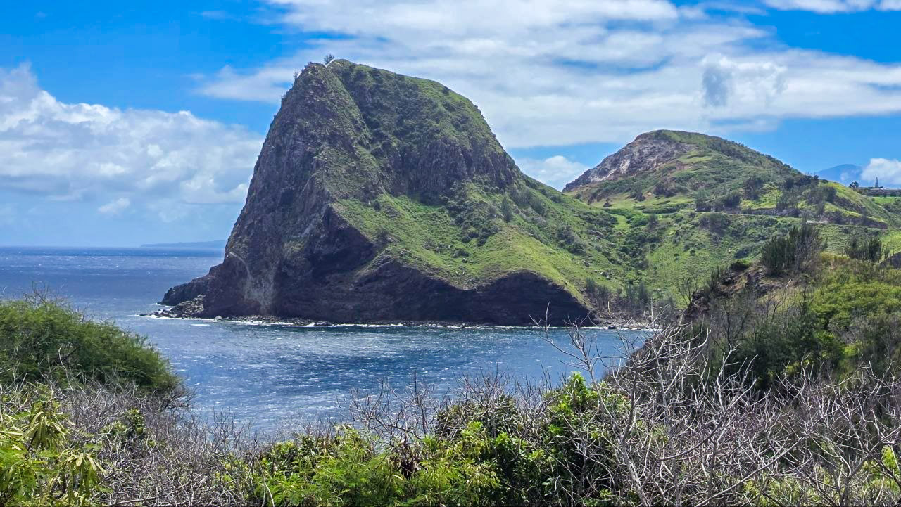
The back road to Hana was an infinitely easier drive.
We’ve driven the traditional Road to Hana many times, and recently had a wonderful experience driving Maui’s back road to Hana, which continues to surprise us with its beauty and relatively manageable conditions. That road has its own challenges, including occasional unpaved sections and narrow curves, but we found it enjoyable and surprisingly relaxing during our recent drive.
Compared with either Hana route, the West Maui Loop was, in Jeff’s words, “infinitely, infinitely harder.” The super narrow sections were longer, the curves more intimidating, and the prospect of encountering another vehicle much more troubling. Anyone who considers the Road to Hana a difficult driving experience might be unpleasantly surprised by what awaits on portions of Kahekili Highway.
On the traditional Hana Highway, the one-lane bridges generally have recognizable approaches where vehicles can wait their turn. On the West Maui Loop, some of the most difficult stretches extend along steep mountainsides, with little indication of where you might find enough room for another vehicle to pass or just how far you might need to back up.
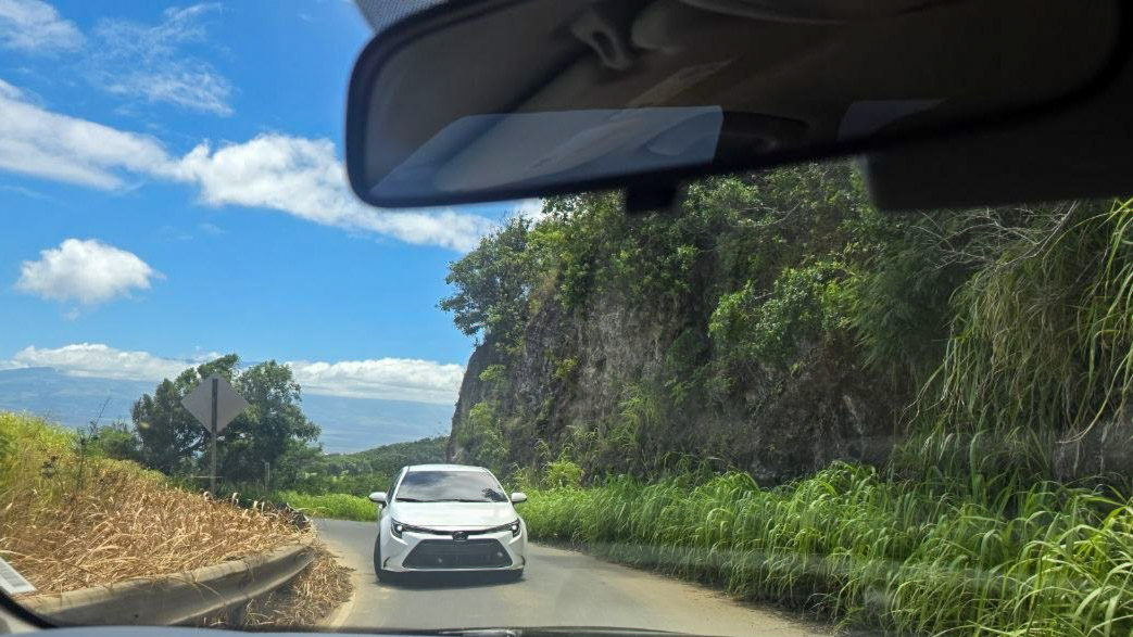
Around Kahakuloa, we wondered how two cars could possibly pass.
The little village of Kahakuloa sits in one of Maui’s most spectacular coastal settings, surrounded by steep green mountains and overlooking its beautiful bay. But navigating the road through the village was challenging enough, and the climbing sections of highway nearby were among the most nerve-racking parts of our entire experience.
There were too many places where we really couldn’t figure out what would happen if we encountered another car. Someone might have to back up, potentially a considerable distance, along pavement barely wide enough for one vehicle. Luckily, we didn’t actually have to make that maneuver, but the possibility was constantly on Jeff’s mind.
We saw larger SUVs along the route and couldn’t help wondering how their drivers would manage some of the same sections. A vehicle that feels perfectly normal on Maui’s main highways suddenly seems enormous when the available pavement is barely wider than the car itself.

Maui County documented a roadway just 8 feet wide.
Near milepost 15, which is just north of Kahakuloa Village, a Maui County’s April 2025 engineering document described about 1,650 feet of one-lane roadway measuring between 8 and 10.5 feet wide as it descends into Waihali Valley. Steep rock cuts line the uphill side, and there is little to no shoulder along portions of the downhill edge.
The county also documented slope instability and pavement-edge damage dating back to 2021. Its prior repair plans called for rebuilding about 1,200 feet into a paved single 12-foot-wide lane, adding pullouts where possible and creating a turnaround area. That came following community input. An approximately $8.23 million construction contract was awarded in November 2025, although we don’t know how much work has been completed since.
Other drivers have had the encounters that we feared.
Other Maui visitors told us about being caught on a cliffside section where vehicles were approaching in both directions, with insufficient room for anyone to pass. An entire line of cars had to reverse along the narrow roadway to let traffic get through. Another person wrote to us saying that they had driven in more than a dozen countries, but considered it the scariest drive they had ever made.
Another visitor traveling the road described how much more difficult the road became in a large Chevy Tahoe SUV. The views were beautiful, but the driver regretted taking the route in that vehicle and couldn’t wait for it to end. Others have found the same road nerve-racking yet ultimately worthwhile.
Plenty of people love this drive, and we understand why. The coastal setting is unlike almost anywhere else on Maui, and some drivers enjoy the challenge it presents. The route also serves residents of Kahakuloa and nearby communities, for whom this is an essential road rather than a recreational adventure. Visitors unfamiliar with the area and local driving conditions add another layer of complexity.
You can experience a part of the West Maui Loop without completing it.
For visitors who want to see some of this coastline without tackling the most difficult stretches, we suggest approaching from Kapalua, enjoying the attractions up to Olivine Pools, and then returning the same way when you reach the road sign marking the end of the state highway. You’ll still have remarkable coastal scenery without committing to the entire loop through Kahakuloa.
The Hawaii DOT highway inventory reflects that the state maintains sections at both ends of Route 340, while the county maintains the stretch between them. But that doesn’t guarantee easier driving, and we wouldn’t use that boundary as a reason to continue past Nakalele.
There’s also the rental-car question, which visitors shouldn’t overlook. Some Maui car rentals may explicitly prohibit driving their vehicles on Route 340 between Honokohau Bay and Waihee. Ours, however, did not. Agencies have their own contractual restrictions, and a road being paved or publicly accessible doesn’t necessarily mean your rental agreement permits it.
Have you driven the West Maui Loop, and did you find it spectacular, nerve-racking, or both? We’d especially like to hear from those who have driven it more than once about whether their experience changed over the years.
Photo Credits: Copyright Beat of Hawaii.
By Rob and Jeff, Beat of Hawaii.
Some of the most meaningful parts of Hawaii are the ones visitors walk right past without knowing they are there. We’ve spent nearly 20 years finding them firsthand for BOH as full-time Hawaii residents reporting on travel, culture, and island life, and telling you what they mean for your trip. Join us →
Get Breaking Hawaii Travel News